Broken Arrow Debuts Digital Tools to Aid Navigation During Construction
The Oklahoma city has released a new mobile app and interactive map to help residents visualize construction zones and real-time traffic conditions.
By Imani Brooks ·
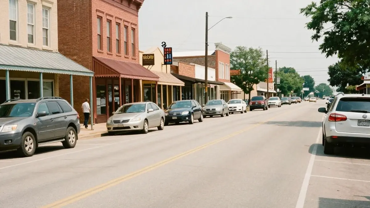
Drivers in Broken Arrow, Oklahoma, have access to a new set of digital resources designed to streamline their daily commutes. The city recently launched a dedicated mobile application and an interactive web map that provide real-time updates on road construction, traffic congestion, and temporary closures. This initiative aims to assist residents in planning more efficient routes through areas undergoing infrastructure improvements.
Broken Arrow Communications Director Aaron McColloch explained that the tool allows users to identify specific construction projects that may impede traffic flow. The system also highlights areas where road closures are in effect due to community events such as parades and festivals. By visualizing these disruptions, drivers can choose to detour around busy zones before they reach the site of the slowdown.
The interface of the new map functions similarly to popular navigation services like Google Maps. It displays color-coded indicators to represent current traffic speeds. McColloch noted that the system uses the same technology found in standard navigation apps, showing red, yellow, and orange markers to indicate where traffic is slow, much slower, or completely stopped. This feature is particularly useful during peak morning and afternoon rush hours when commuters are most likely to encounter delays.
City officials developed the platform by leveraging an existing contract with ESRI, a leading provider of geographic information system technology. The project was built in collaboration with the city's internal GIS department. McColloch stated that the city previously listed its ongoing projects on a static online page. However, officials determined that a static list did not offer the easiest way for the public to visualize the exact locations of slowdowns and construction activities. The new interactive map was created to address this limitation and provide a clearer picture of road conditions.
The shift to a visual, real-time tool marks a significant update to how the city communicates infrastructure changes to the public. By moving from a simple list of projects to a dynamic map, the city hopes to make traffic information more accessible and intuitive for all residents. The goal is to reduce frustration caused by unexpected delays and to empower drivers with better data for route planning.
Local residents have begun to evaluate the new resource. Broken Arrow resident Sandy Flores expressed that he views the tool as a valuable asset for navigating the city. He noted that the application provides useful detour options for getting around town. While Flores indicated that he might use the app himself, he suggested that younger members of his family, including his daughter and grandchildren, are likely to utilize the technology more frequently.
The new application is available for download on mobile devices, allowing users to carry the traffic data with them while driving. Additionally, an interactive version of the map is accessible directly through the Broken Arrow city website. This dual availability ensures that residents can access the information whether they prefer to use their smartphones or a desktop computer. The city continues to monitor the tool's performance and user feedback as it becomes a standard part of the community's transportation infrastructure.
By integrating modern mapping technology with local traffic data, Broken Arrow is taking steps to improve the driving experience for its citizens. The initiative reflects a broader trend in municipal governance where digital tools are used to enhance public services and improve the flow of urban environments. As construction projects continue across the region, these resources will likely play a key role in helping commuters manage their time and routes effectively.
Originally published by News Media House · Source: KJRH 2 News
More News · Broken Arrow news · Report a business · Got a Story?